


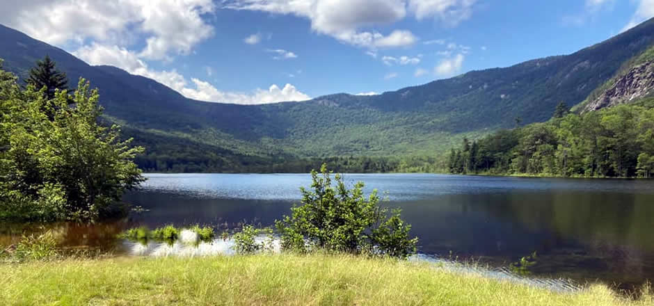
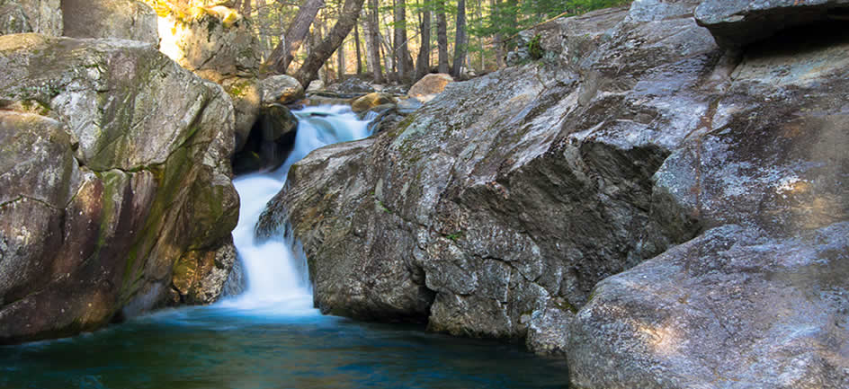
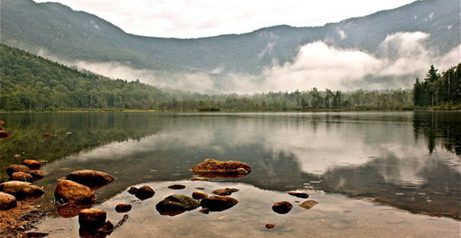
Chatham is a town in Carroll County, New Hampshire, United States. The population was 337 at the 2010 census. It is located in the White Mountains, and except for the southeast corner, all of Chatham is in the White Mountain National Forest.
Area: 57.2 sq miles (148.1 km²)
Incorporated: 1767
Chatham was first granted by the New Hampshire proprietors in 1767, and named in honor of William Pitt, Earl of Chatham and Prime Minister of England. Pitt was one of few who supported the Rockingham government in saying that England had no right to tax the colonists. None of the 73 grantees dared settle in the wilderness, because it was inhabited by Pequawket Indians. In 1770 the land was granted to new settlers, including Abiel Chandler, founder of the Chandler Scientific School at Dartmouth College, and Samuel Langdon, one time president of Harvard College, who made the famous Blanchard Map of the North Country.
Villages and Place Names: North Chatham, South Chatham.
Part of Conway was annexed in 1829
Population, Year of the First Census Taken: 58 residents in 1790
Population Trends: Population change for Chatham totaled 188 over 52 years, from 150 in 1960 to 338 in 2012. Decennial percent change was 41 percent from 1970 to 1980, 42 percent from 1980 to 1990, and 29 percent from 2000 to 2010; population decreased over all other decades. The 2012 Census estimate for Chatham was 338 residents, which ranked 223rd among New Hampshire’s incorporated cities and towns.
Population Density and Land Area, 2010 (US Census Bureau): 5.9 persons per square mile of land area, the seventh lowest among the cities and towns. Chatham contains 56.8 square miles of land area and 0.6 square miles of inland water area.
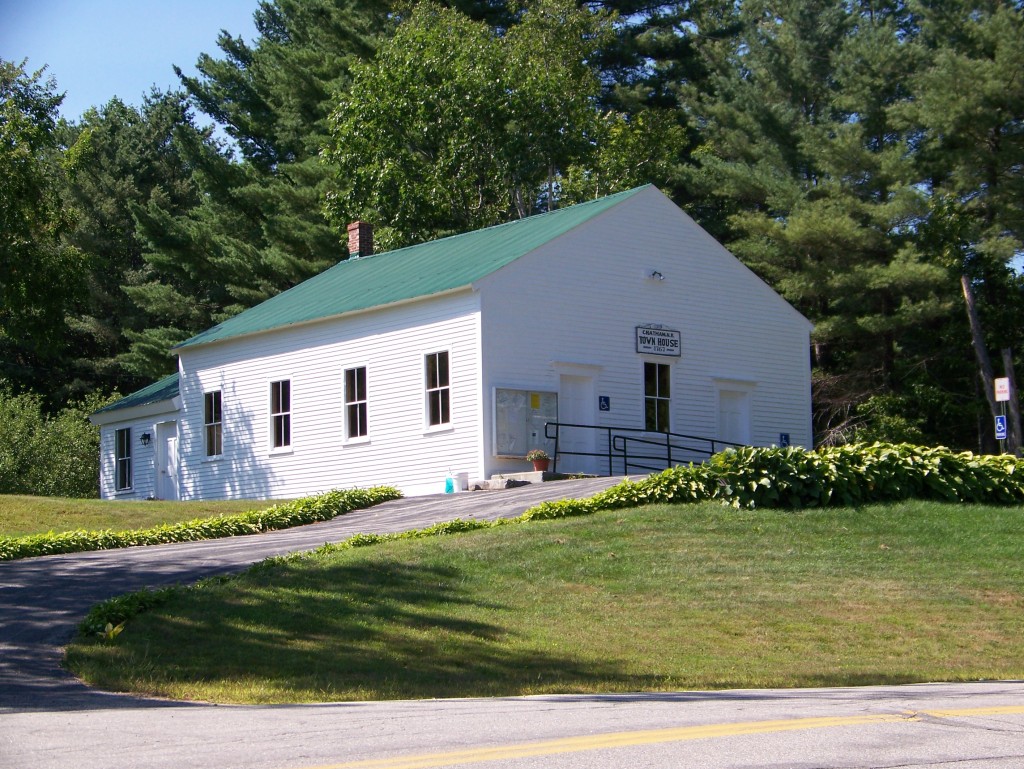
Important Notice
Resident’s must show a Driver’s License when registering vehicles
The Chatham Beach area has new policy, Residents and and Property owners must obtain a permit for Beach parking which can be obtained at the Chatham Town Clerks office.
These permits are free. You may get one Residents/Property Owner permit and one guest permit. Contact the Town Clerk Office 603-694-2117